Calculating the Impacts of Farming around Obstructions
August 23, 2018
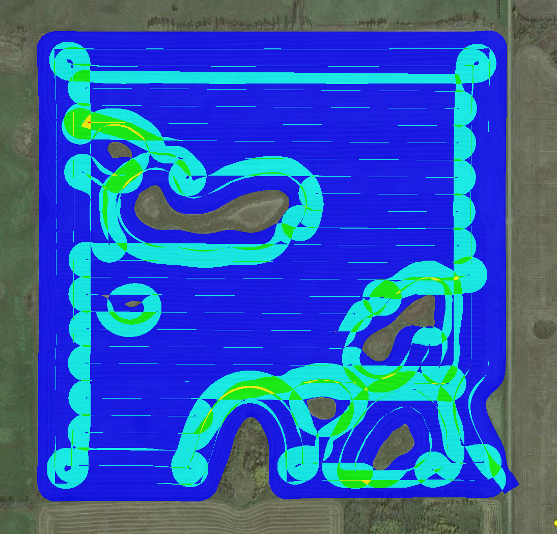 Obstruction Mapper used to determine Overlap around Wetlands
 The Obstruction Mapper has been updated to provide landowners and agricultural industry stakeholders with valuable information about the impact of field farming practices on productivity and other factors. The Obstruction Mapper is able to analyze the financial impact of roads, oil and gas sites, grain bins, yardsites, or any other obstructions that impede optimal field patterns. It can determine the best field efficiencies in regards to equipment selection, pathing options, travel time, inputs, and energy uses. It can estimate the cost of environmental protection measures such as farming around wetlands, hedgerows or other wildlife habitat. In addition to financial impacts, it can also be utilized for the modelling of energy use and climate impacts for food supply sustainability indicators or other management practices.
Users of the Obstruction Mapper range from individual landowners to corporate farmland investors; utility to oil and gas companies; agrology consultants to food supply corporations; local to international commodity organizations; and environmental to conservation groups.
To find out more about the Obstruction Mapper contact an Obstruction Mapper specialist or visit the Obstruction Mapper webpage.